Partry Mountains
Appearance
This article needs additional citations for verification. (November 2021) |
| Partry Mountains | |
|---|---|
| Irish: Sliabh Phartraí | |
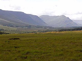
 Partry Mountains from the north | |
| Highest point | |
| Peak | Maumtrasna |
| Elevation | 682 m (2,238 ft) |
| Coordinates | 53°39′N 9°30′W / 53.650°N 9.500°W |
| Geography | |
| Country | Ireland |
| Provinces of Ireland | Connacht |
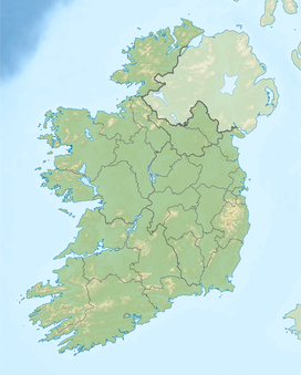
The Partry Mountains (Irish: Sliabh Partraí) is a mountain range in western Connacht, Ireland. It is in an area known as Partry, on the borders of County Mayo and County Galway. The mountains stand between Lough Mask (to the northeast), Lough Corrib (southeast), the Maam Valley (southwest) and the River Erriff (northwest). At the heart of the range is Lough Nafooey.
The highest peak in the Partry Mountains is Maumtrasna, which rises to 682 metres (2,238 ft). Other mountains in the range include Devilsmother, Knocklaur, and Bunnacunneen.
References
[edit]![]() Media related to Partry at Wikimedia Commons
Media related to Partry at Wikimedia Commons


