Paoli Municipal Airport
Appearance
Paoli Municipal Airport | |||||||||||
|---|---|---|---|---|---|---|---|---|---|---|---|
| Summary | |||||||||||
| Airport type | Public | ||||||||||
| Owner | Paoli BOAC | ||||||||||
| Location | Paoli, Indiana | ||||||||||
| Elevation AMSL | 816.2 ft / 248.8 m | ||||||||||
| Coordinates | 38°35′07″N 86°27′53″W / 38.58528°N 86.46472°W | ||||||||||
| Website | http://www.paoliairport.com/Pages/default.aspx | ||||||||||
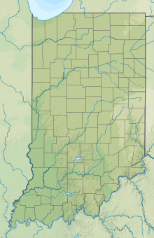
| Map | |||||||||||
| Runways | |||||||||||
| |||||||||||
Paoli Municipal Airport (I42) is a public airport 2 miles (3.2 km) north of Paoli, in Orange County, Indiana. The airport was founded in July 1947.
See also
[edit]References
[edit]
External links
[edit]- "AirNav: I42 - Paoli Municipal Airport". airnav.com. Retrieved 2017-12-14.
- "Home". paoliairport.com. Retrieved 2017-12-14.


