John Henry Kirby State Forest
Appearance
| John Kirby State Forest | |
|---|---|
| Location | Tyler County, Texas, USA |
| Nearest city | Woodville, Kountze, Beaumont |
| Coordinates | 30°34′36″N 94°24′38″W / 30.57667°N 94.41056°W |
| Area | 626 acres (253 ha) |
| Established | 1929 |
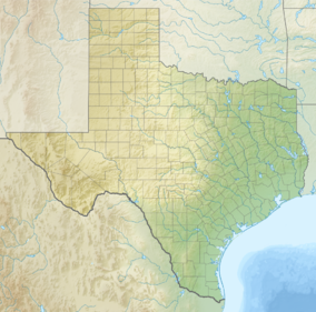
The John Henry Kirby State Forest is a 626-acre (2.5 km2) forest reserve located in Tyler County, Texas. Located just fourteen miles (21 km) south of Woodville and seventeen miles north of Kountze, it is used primarily for research by Texas A&M University.[1] It is open to the public for picnics and touring only. The 6.6 mile Longleaf Nature Trail is located within the state forest. Any revenue generated is donated to student-loan programs at Texas A&M. The land was donated to the state by the lumber baron John Henry Kirby in 1929.
In the 1930s, the Civilian Conservation Corps planted trees, improved timber stands and constructed a residence, fire lookout tower, roads, fire breaks and bridges.[2]
See also
[edit]- Texas Forest Trail
- List of Texas state forests
- List of botanical gardens and arboretums in the United States
References
[edit]- ^ TSHA Online – Texas State Historical Association
- ^ "John Henry Kirby Memorial State Forest". Texas A&M Forest Service. Retrieved January 13, 2018.
External links
[edit]- Texas Forest Service website - Texas State Forests - John Henry Kirby Memorial State Forest

