Logansport/Cass County Airport
Appearance
Logansport/Cass County Airport | |||||||||||
|---|---|---|---|---|---|---|---|---|---|---|---|
| Summary | |||||||||||
| Airport type | Public | ||||||||||
| Owner | Logansport Cass County Airport Authority | ||||||||||
| Operator | Logansport Cass County Airport Authority | ||||||||||
| Location | Logansport, Indiana | ||||||||||
| Elevation AMSL | 738 ft / 224.9 m | ||||||||||
| Coordinates | 40°42′40″N 86°22′28″W / 40.71111°N 86.37444°W | ||||||||||
| Website | http://www.lccaa.info/ | ||||||||||
| Map | |||||||||||
| Runways | |||||||||||
| |||||||||||
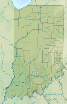
Logansport/ Cass County Airport (ICAO: KGGP, FAA LID: GGP) is a public airport 2 miles (3.2 km) south of Logansport, in Cass County, Indiana. The airport was founded in November 1959.
As of 2015, the airport has been the home of Air Indiana Skydiving Center.[1]
See also
[edit]References
[edit]
External links
[edit]- "Main". lccaa.info. Retrieved 2014-07-29.
- "AirNav: KGGP - Logansport/Cass County Airport". airnav.com. Retrieved 2014-07-29.
- "Air Indiana Skydiving Center".


