Nemegos station
Appearance
Nemegos | |||||||||||||
|---|---|---|---|---|---|---|---|---|---|---|---|---|---|
| General information | |||||||||||||
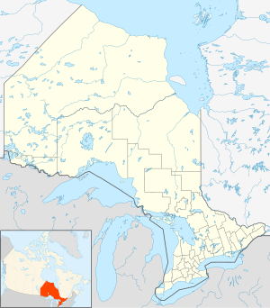
| Location | Nemegos, Ontario Canada | ||||||||||||
| Coordinates | 47°43′32″N 83°12′13″W / 47.72556°N 83.20361°W | ||||||||||||
| Owned by | Via Rail | ||||||||||||
| Construction | |||||||||||||
| Structure type | Sign post | ||||||||||||
| History | |||||||||||||
| Previous names | Canadian Pacific Railway | ||||||||||||
| Services | |||||||||||||
| |||||||||||||
| |||||||||||||
| |||||||||||||
Nemegos station is a Via Rail flag stop station located at Nemegos, Ontario in the Unorganized North Part of Sudbury District in Northeastern Ontario, Canada. It is on the Canadian Pacific Railway (CPR) transcontinental main line,[1] and is served by the regional rail Sudbury – White River train.
Nemegos was established in the 1890s as a sectional point on the CPR between the divisional points of Chapleau to the west and Cartier to the east.[2][3]
References
[edit]- ^ Map 12 (PDF) (Map). 1 : 1,600,000. Official road map of Ontario. Ministry of Transportation of Ontario. 2010-01-01. Retrieved 2011-09-11.
- ^ "Ontario and Quebec Railway Territories" from the 2nd Edition, 1915, Atlas of Canada (Map). 1 : 2,217,600. Natural Resources Canada. 1913. Archived from the original on 2010-07-28. Retrieved 2011-09-11.
- ^ Charbonneau, Yvan (2010-10-02). "History". Nemegos. Ontario Ghost Towns. Retrieved 2011-09-11.
External links
[edit]

