Manora Cantonment
Appearance
Manora Cantonment
منوڑا کنٹونمنٹ | |
|---|---|
| Country | |
| Province | |
| City | Karachi |
| Website | www |
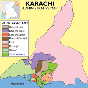
The Manora Cantonment (Urdu: منوڑہ چھاؤنی) is a cantonment town in a small Manora Island, located just south of Karachi, in Sindh, Pakistan. It serves as a military base and residential establishment. Established by the British Indian Army in 19th-century British India, the cantonment was taken over by the Pakistan Army upon the country's independence in 1947.[1][2]

The cantonment maintains its own infrastructure of water supply, electricity and is outside the jurisdiction of City District Government of Karachi.[1][2]
See also
[edit]- Army Cantonment Board, Pakistan
- Cantonment (Pakistan)
- Manora, Karachi
- Manora Island
- Manora Fort, Karachi
References
[edit]- ^ a b Artfiend: Reclaiming Manora Dawn (newspaper), Published 14 March 2010, Retrieved 26 September 2021
- ^ a b Manora Cantonment GlobalSecurity.org website, Retrieved 26 September 2021
24°57′N 67°13′E / 24.950°N 67.217°E
